CityVis
Visualization as a tool for analysis, exploration and communication has become a driving force in the task of unravelling the complex urban fabrics that form our cities.
- Prof. Dr. Sebastian Meier
- Damla Çay
- Dr. Sarah Goodwin
- Fabian Dinklage
- Prof. Dr. Marian Dörk
- Prof. Dr. Till Nagel
- American University
- Hochschule Mannheim
- Monash University
- Simon Fraser University
- Urban Complexity Lab
CityLAB Berlin, Senatskanzlei Berlin
HERE Maps
In 2016, in the context of the UN's Habitat III conference, we setup the CityVis initiative. Since then we have been collaborating with a range of actors from around the world, to continue CityVis' mission. This platform tries to bring together an interdisciplinary community and establish an exchange of knowledge & ideas on urban visualization projects from around the globe. The heart of the platform is a collection of more than 150 projects contributed from around the world.
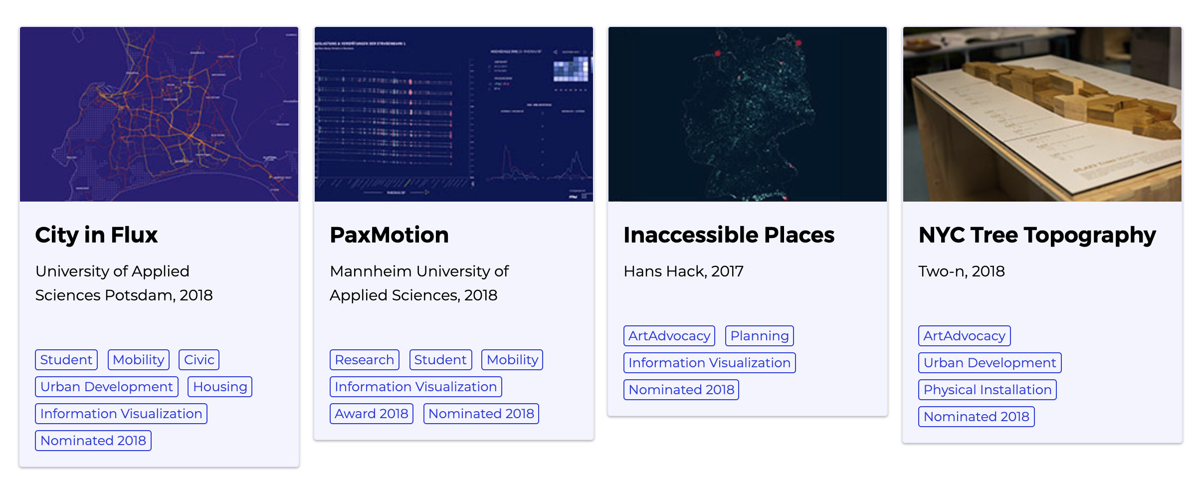
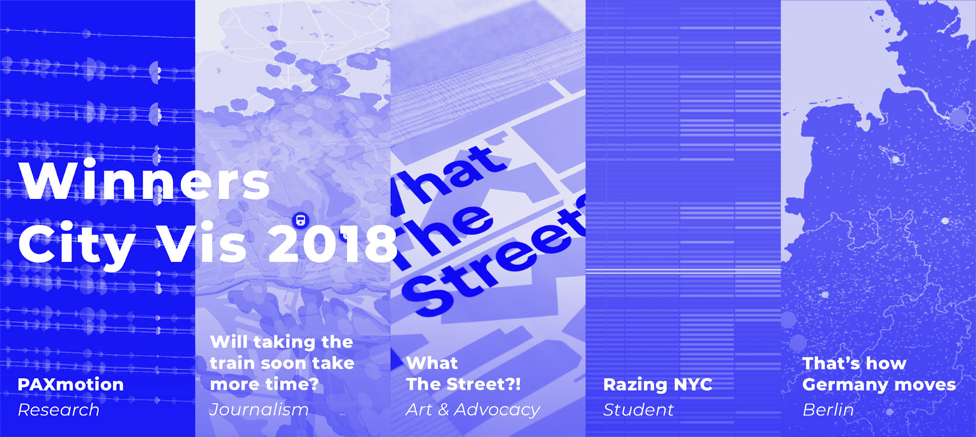
To bring together experts from different communities from academics, to journalists to urban planners, we have been organising competitions to honor the work and disseminate the urban visualisation examples. An international jury has been selecting the winning entries.
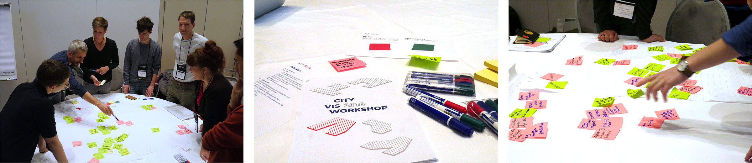
To deepen the conversation and produce tangible outputs, several academic workshops have been trying to outline the opportunities and challenges of urban data visualisation work, as well as conceptualizing a design space for future urban data visualiation projects (see publications below).
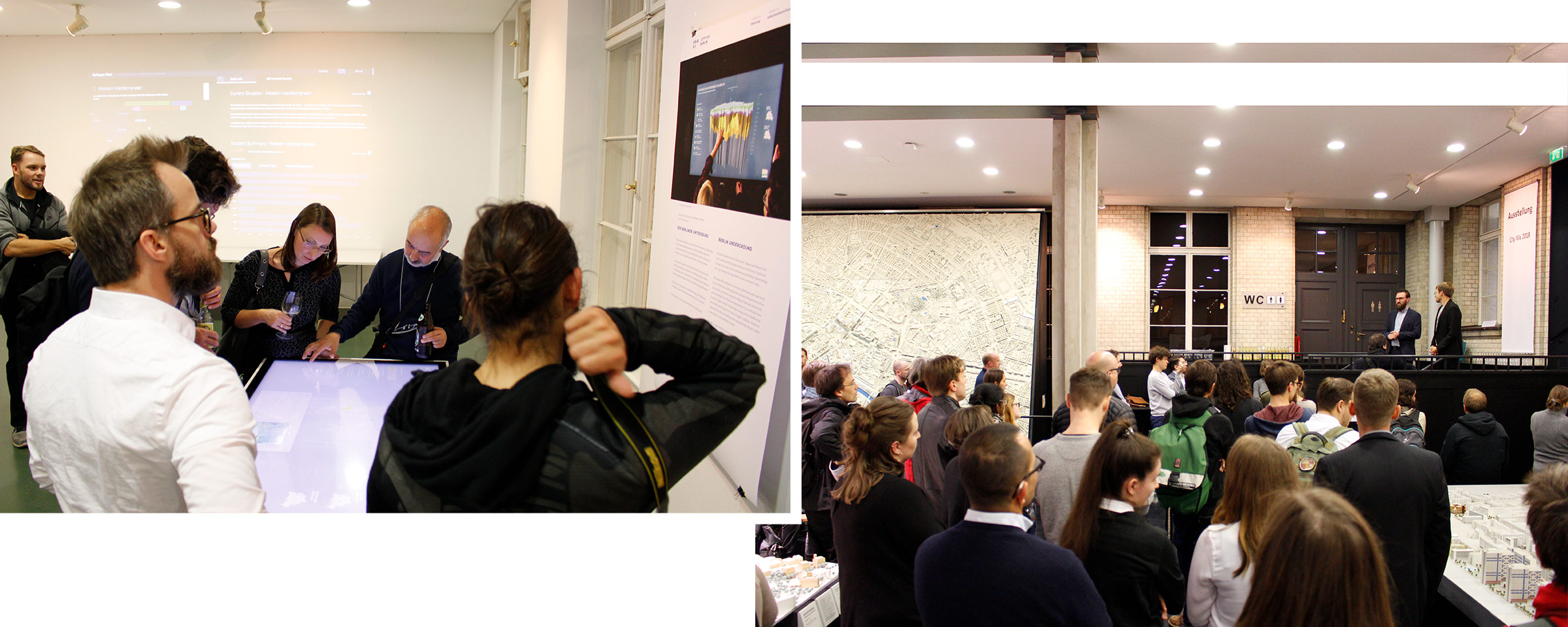
Beyond connecting the experts from various fields, we are trying to create awareness for the opportunity and challenges in this field in the broader group of urban stakeholders. To transfer and communicate the insights from the experts to the community of urban stakeholders form citizens to decision makers, we organized public exhibitions and panels.
Over the years, we were able to receive funding from a variety of organizations, from the Germany Cartographic Society (DGfK), to the CityLAB Berlin and the Senate Chancellory of Berlin, to HERE Maps who helped us start this iniative back in 2016.