Till Nagel is a professor for visual analytics at University of Applied Sciences Mannheim. His research interest are in geovisualization, urban data, and interaction design, with a focus on how to engage broader audiences with interactive displays of spatio-temporal data. See projects and publications for more information.
Previously, he was a guest professor at Burg Giebichenstein University of Arts and Design Halle. Before that, Till was a postdoc at the FHP Urban Complexity Lab. He has a background in media and computer science, and pursued his PhD at the Human Computer Interaction group at KU Leuven. He is a research affiliate with the MIT Senseable City Lab, the KUL Data Visualization Lab and the Interaction Design Lab at the University of Applied Sciences Potsdam. Since 2006 he is a lecturer in creative coding and data visualization, and taught courses at several international universities.
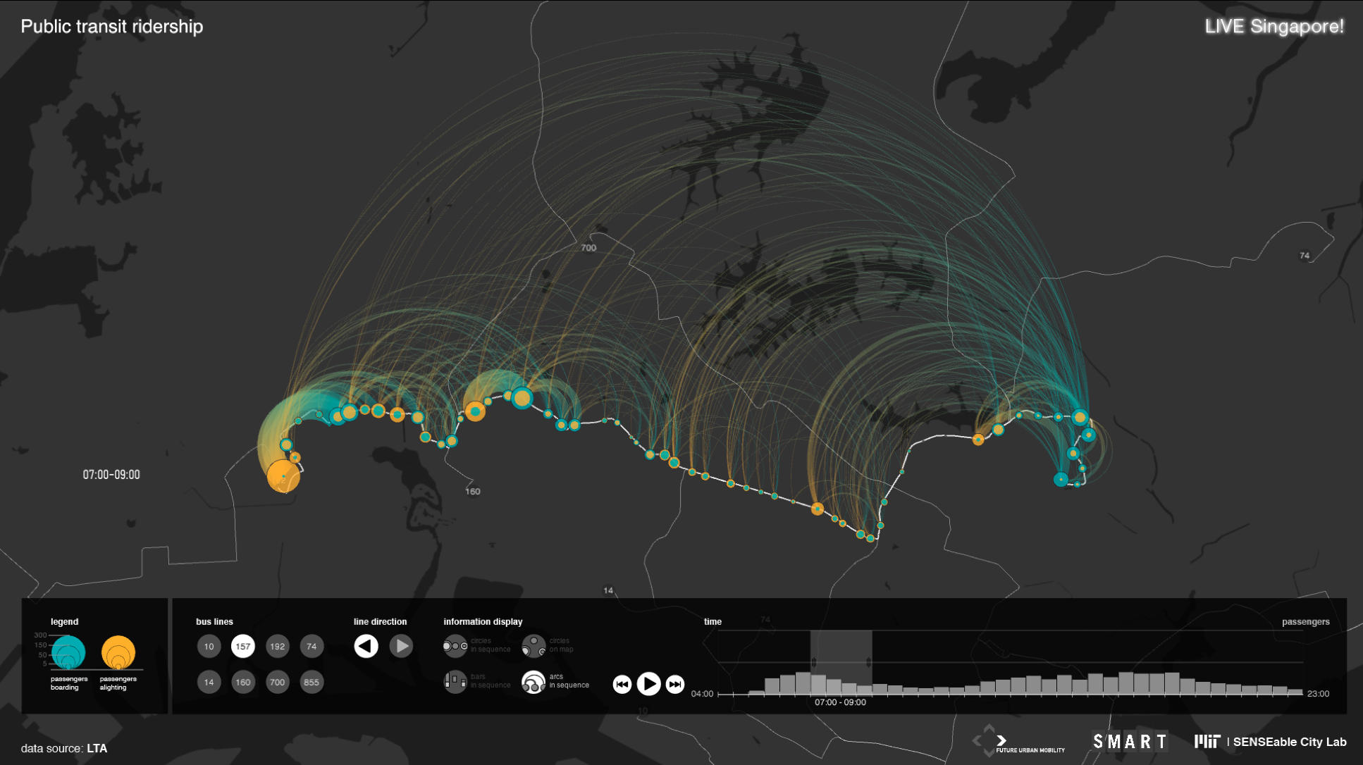
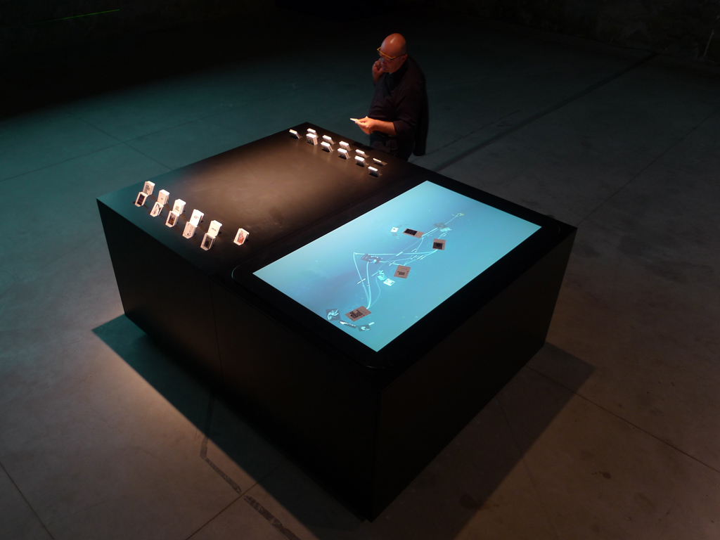
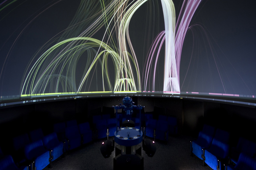
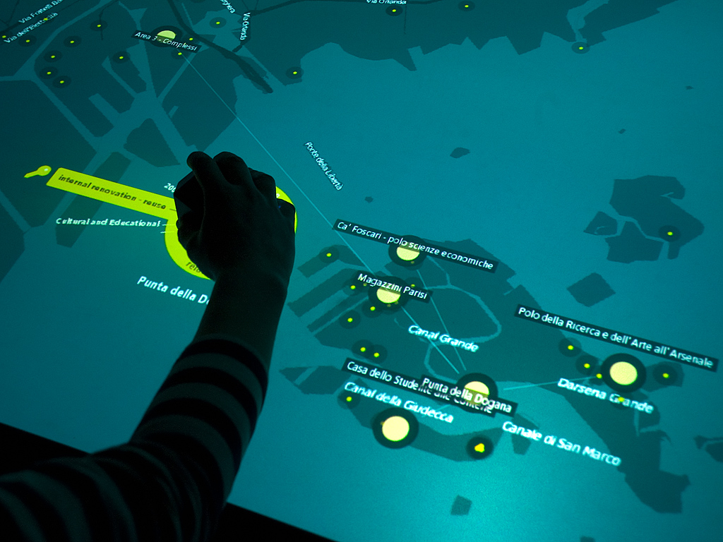
He is the project lead of Unfolding Maps, a software library for geovisualizations and maps for Processing. His design work has been exhibited at Venice Biennale of Architecture, Shanghai Design Exhibition, DMY Berlin, and featured in The Guardian, Esquire, The Atlantic Cities, and many more.
Projects